Aalto University - 18 000 Mobile Application Users
The Largest University Campus in Finland
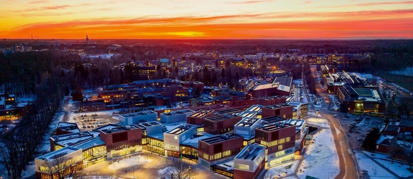
About Aalto University Campus
A parkland-style campus established in the 1950s forms the core of the Otaniemi neighborhood in Espoo, Finland. The overall vision of the university was that of Alvar Aalto, and its buildings were designed by Aalto and other celebrated Finnish architects such as Reima and Raili Pietilä and Heikki and Kaija Sirén.
Challenges
New students coming to the vast campus unfamiliar with the facilities and services available
Flexible working spaces for students, staff, and visitors but challenging to find closest suitable free space
No shared map data between faculties and business units. A lot of siloed, single-use geospatial data maintained by individual users for one use case such as
campus pdf map for website
lecture room location illustrations per course
services map
reservable rooms directory
printer locations map
Results
Steerpath Indoor Navigation solution is the core of the Aalto Space Campus Application: a mobile application that has over 18,000 mobile installs and around 5,000 active users. Considering the campus has approximately 15,000 students, the usage and adoption of the solution are incredibly high. Currently, there are about 200 000 square meters of indoor space covered with the Steerpath wayfinding solution and around 18 buildings included. The mobile app is used for both finding and booking free rooms for study and collaboration as well as for finding one's way across the large campus that spans across an entire city district. Seamless navigation between buildings and between floors of the buildings has been a must feature since the beginning.

The first-year students are installing the navigation and space reservation app on opening day

Searching services, free spaces, and other points of interest made easy with interactive web, kiosk, and app UI. All the data behind open API are available to everyone at the university as the foundation for a Digital University.
One of the critical features of the Steerpath solution has been the open map platform that is enabling the whole campus to share one common dataset. The shared dataset can be used by any application within the university to retrieve the latest information where different types of spaces are located, what their availability is, what services are available, and where. With the introduction of unified, a shared dataset, the university has saved both on maintenance work thanks to advanced and easy to use map management tools as well as removing the need for maintaining individual maps for each use case.
